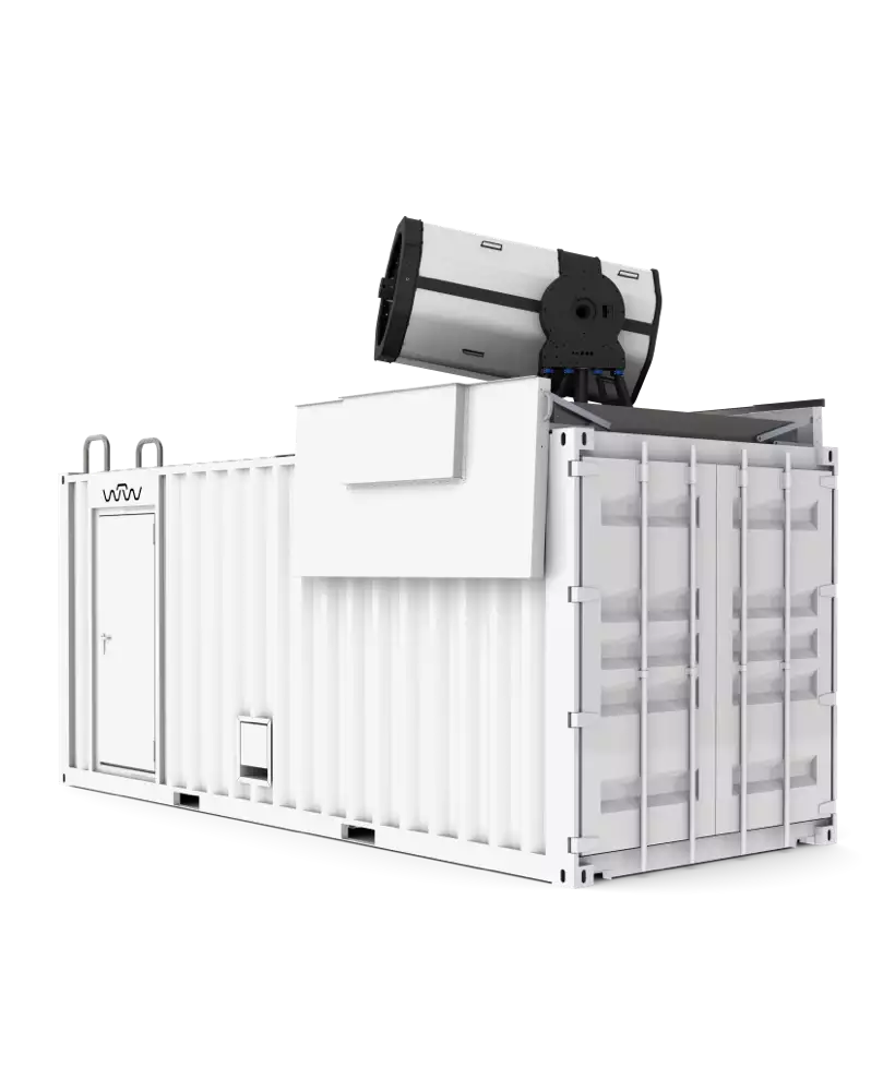
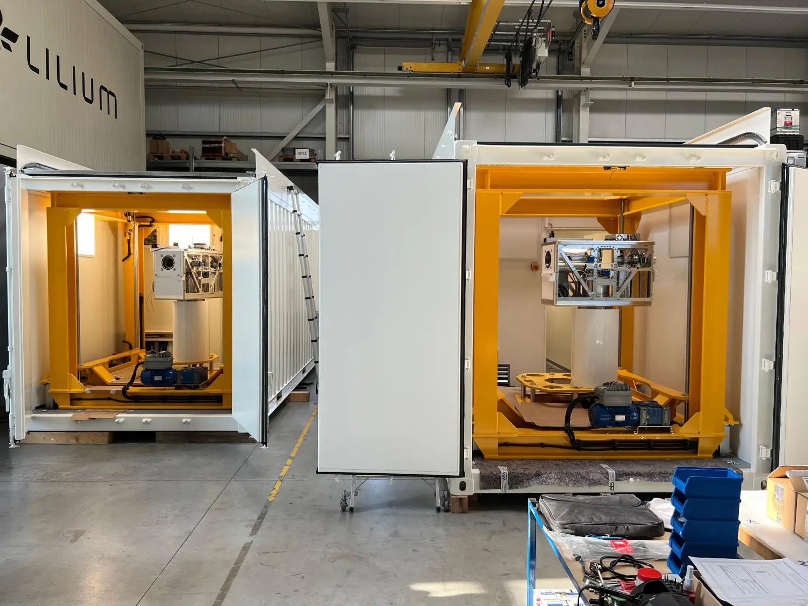
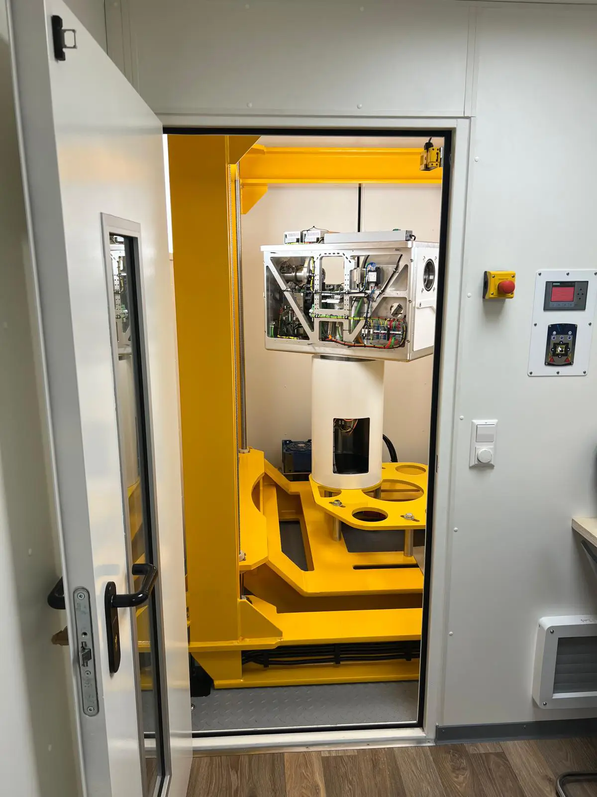
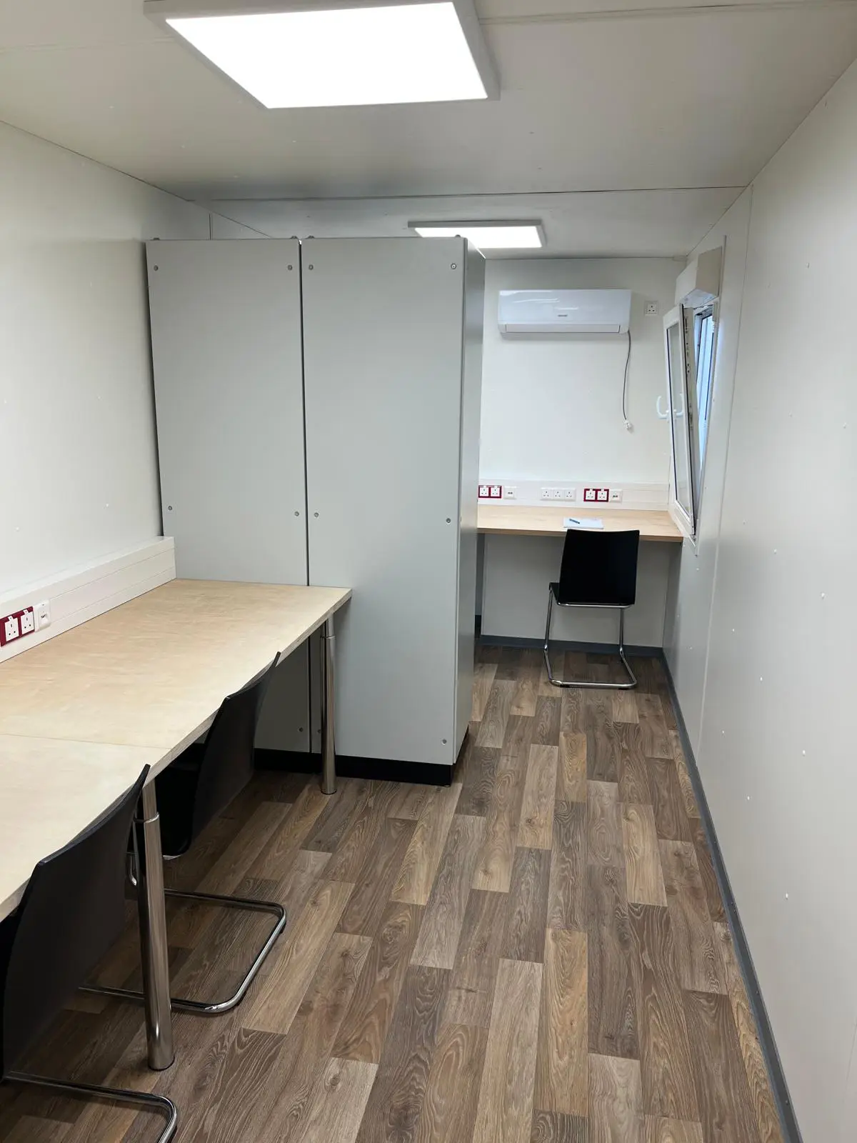
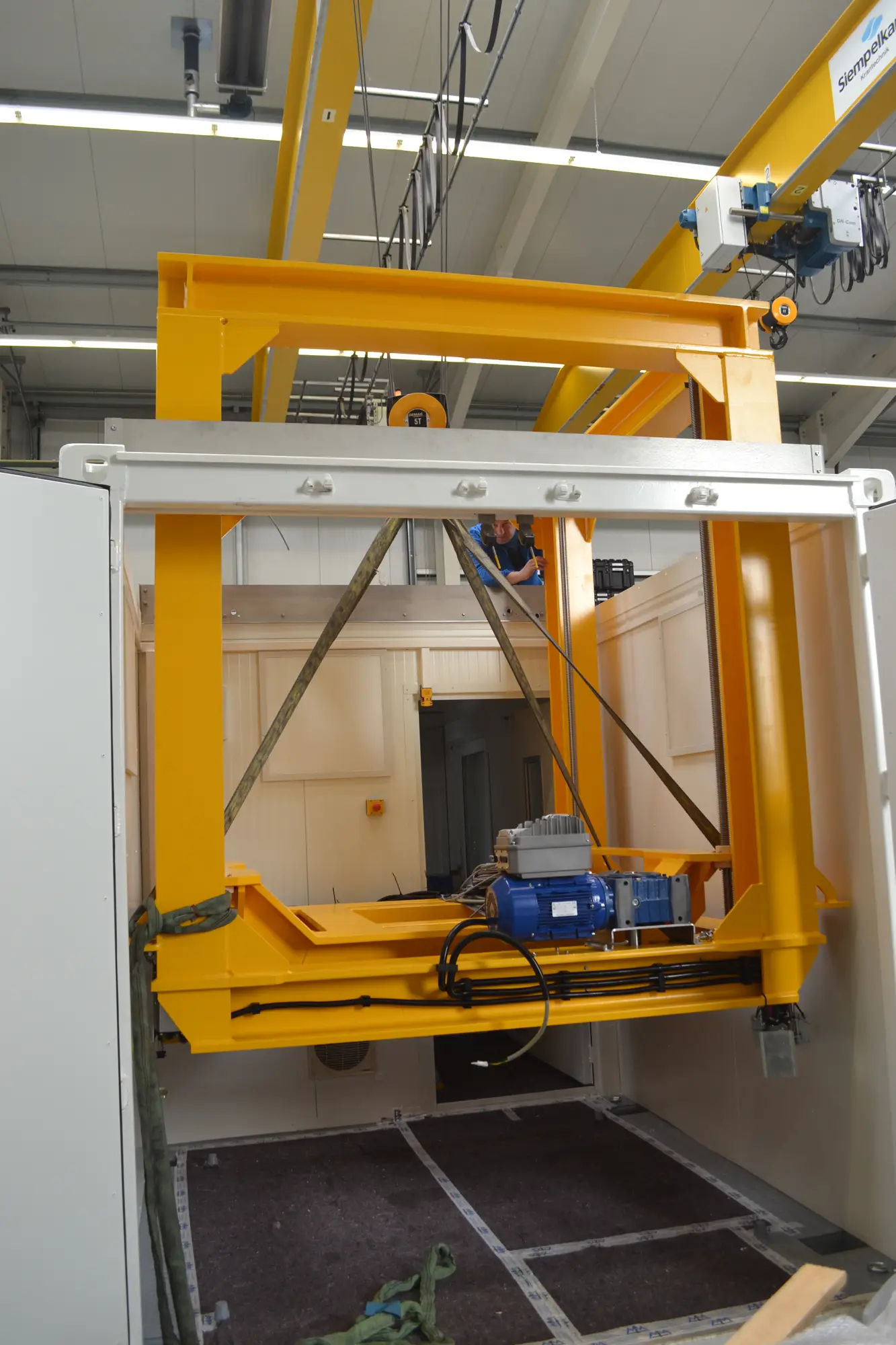
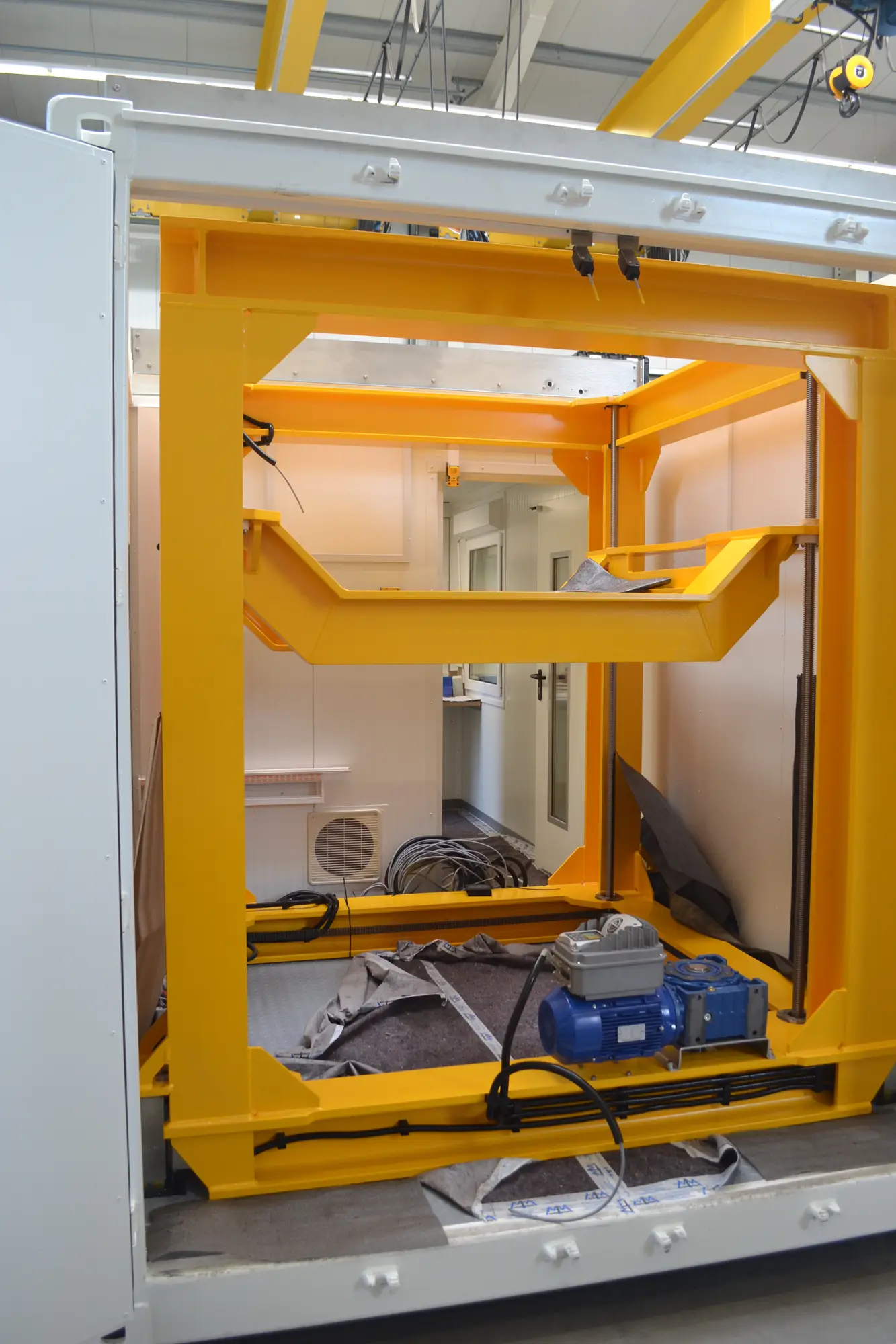
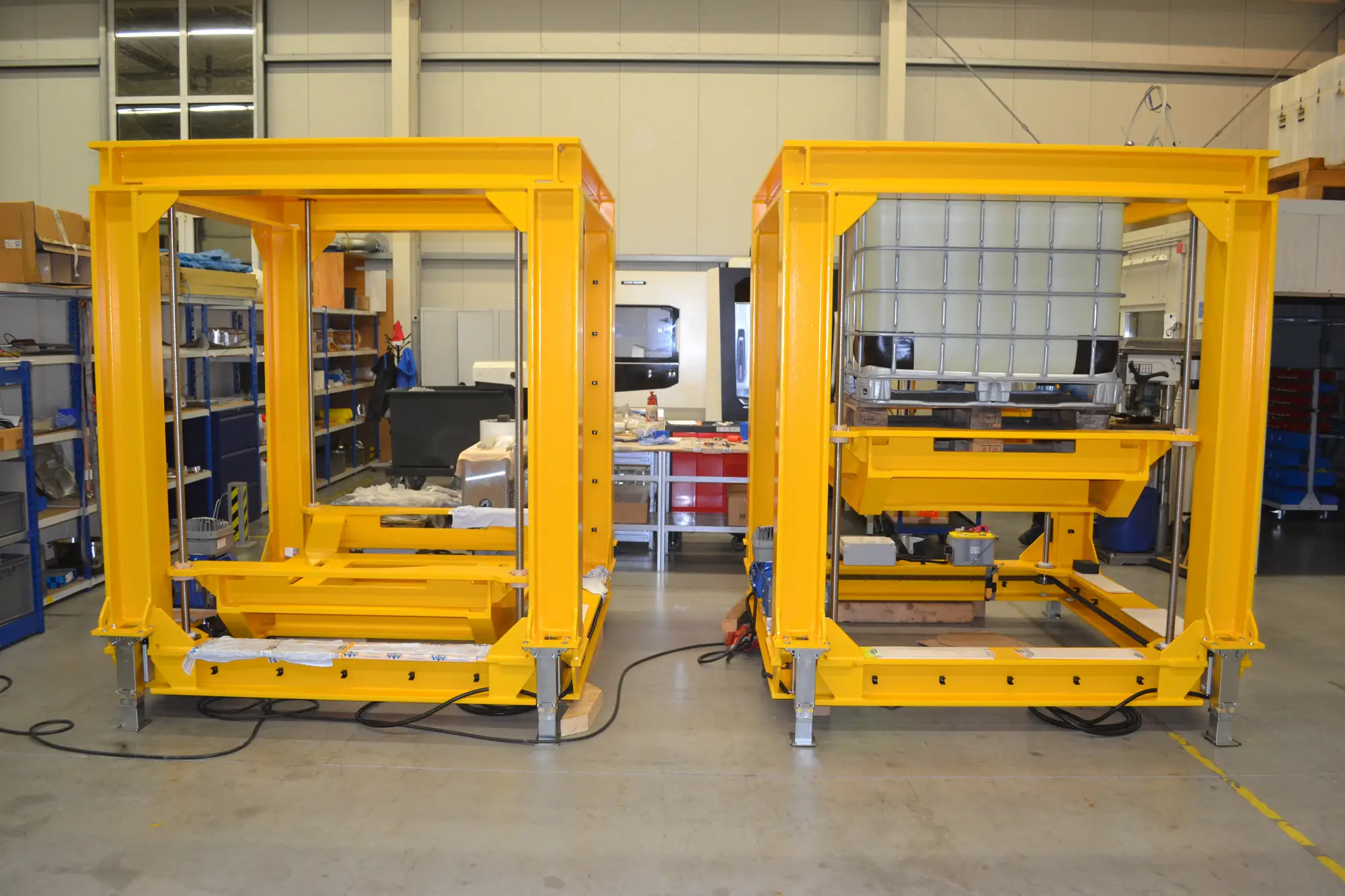
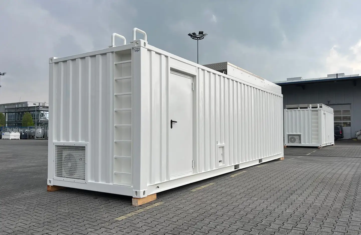
This system integrates a high-stability tracking mount, laser emitter, optical receiver, and timing electronics to enable precise distance measurements to satellites and space debris. Designed for millimeter-level ranging accuracy, it is suitable for long-term geodesy programs, Earth observation satellite support, and SSA (Space Situational Awareness) missions. The platform is modular, container-ready, and fully compatible with WTW control software and interfaces.
Discover where this product excels – from specialized industries to mission-critical applications.
High-accuracy satellite distance measurements
Satellite links for environmental monitoring
Integrated tracking for field operations
Real-time trajectory data for weapon evaluation
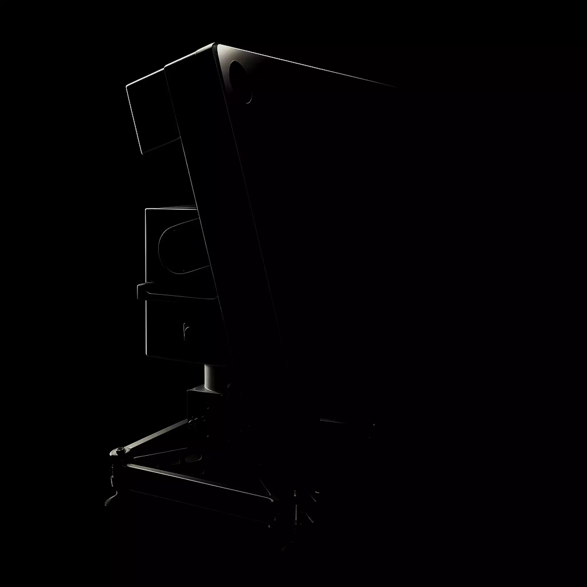
The WTW Satellite Laser Ranging system provides millimeter-level precision for geodesy, orbit calibration, and space situational awareness. Combining a dual-axis direct-drive mount with integrated laser emitter, optical receiver, and high-resolution encoders, it delivers unmatched accuracy for satellite and debris tracking. Housed in a modular, container-ready platform with climate control and remote operation, it ensures stability, reliability, and long-term scientific performance in demanding space observation missions.
See our products in action – real projects, videos, and application insights.

WTW is a certified German manufacturer of high-precision tracking antenna systems, positioners, and custom solutions for aerospace, defense, and research applications worldwide.
+49 4928 914598-0info@tracking-antenna.de